MENU
CLOSE

CLOSE
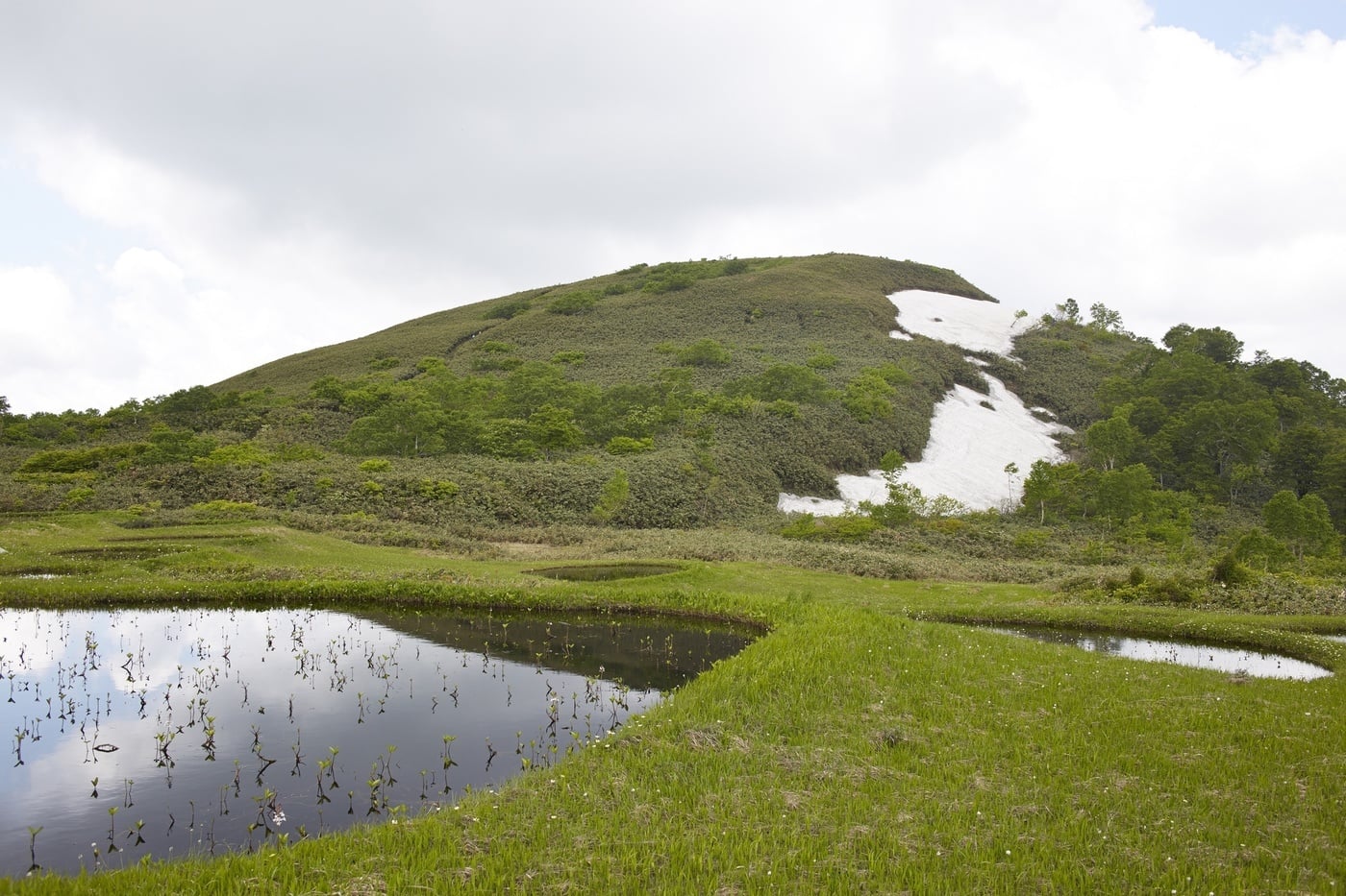
Mount Tashiro is a dormant volcano with an elevation of 1,178 meters, located in the Shirakami Mountains.
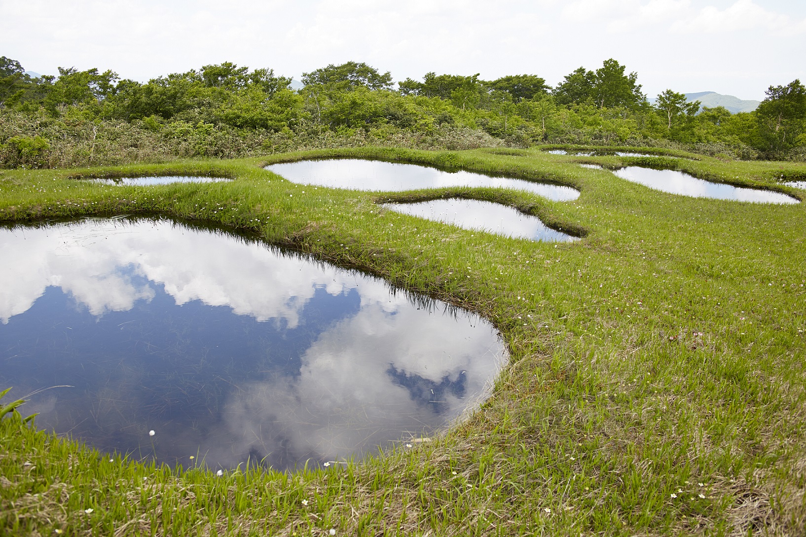
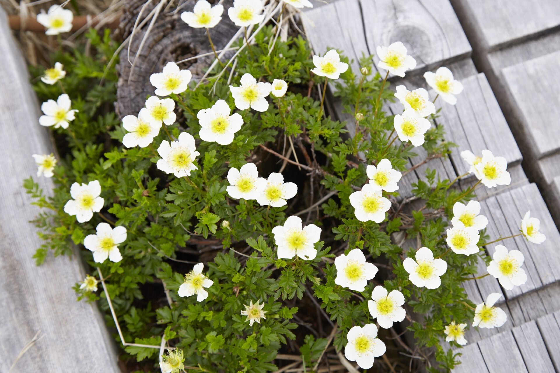
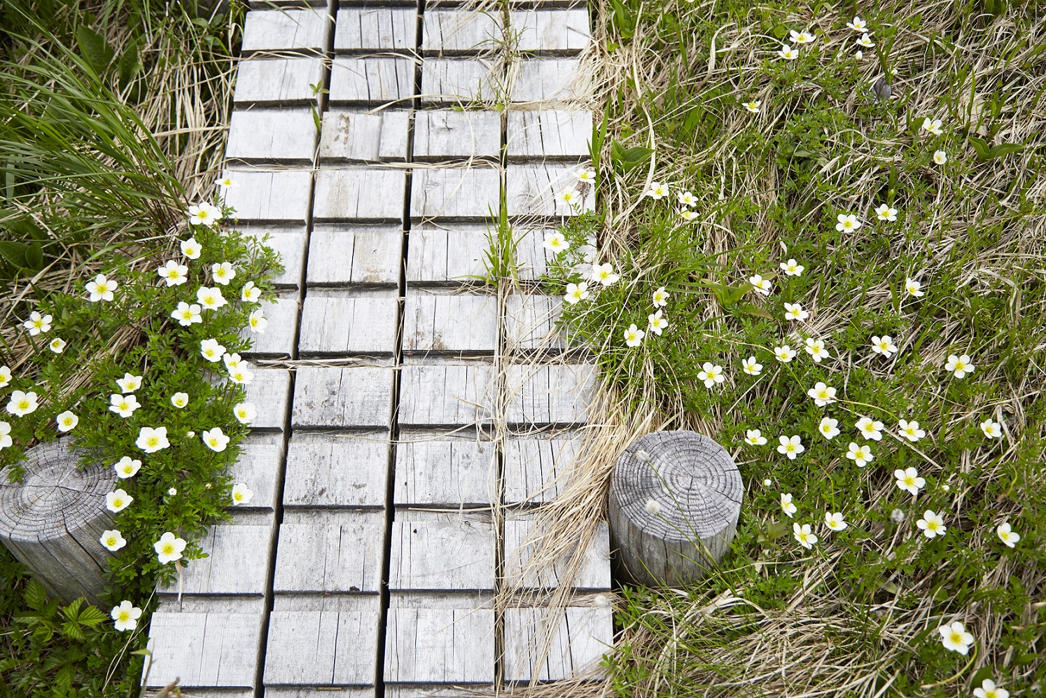
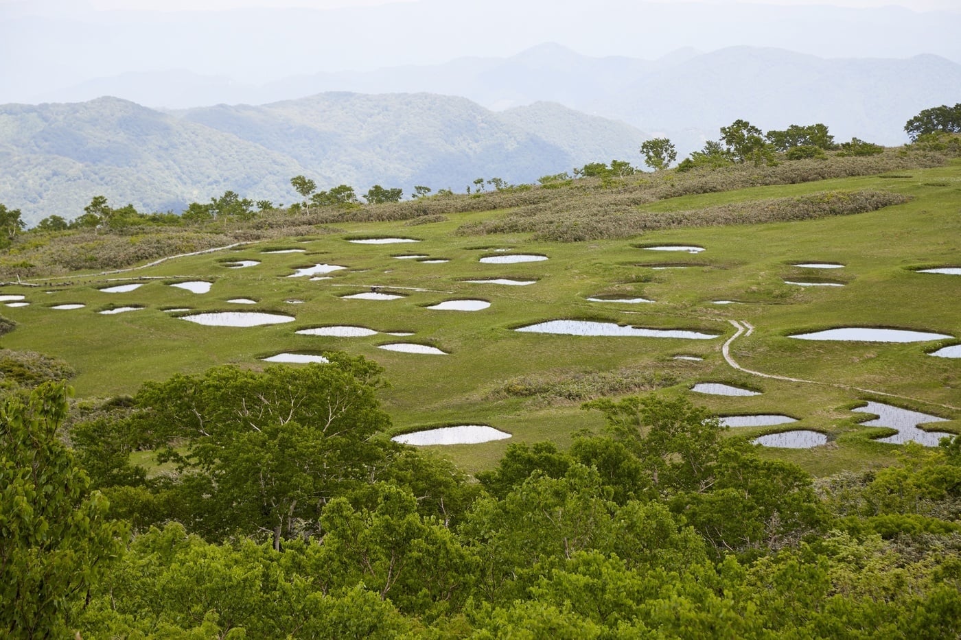
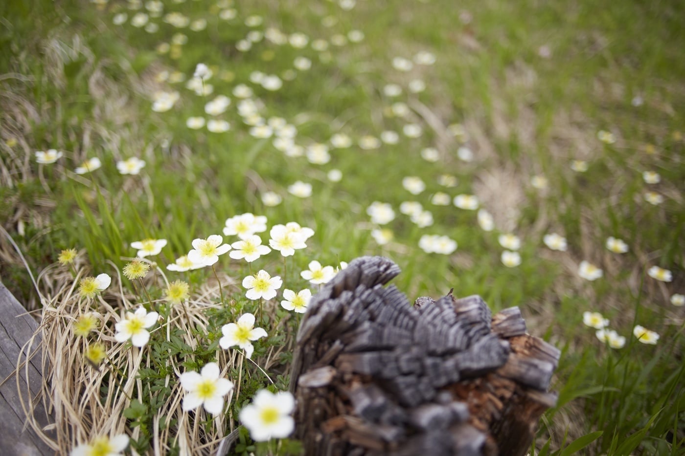
Near the 9th station, a high-altitude marshland has formed, dotted with more than 120 small ponds (chitō), and because many alpine plants bloom there, it is known as the “Alaska Garden Above the Clouds” and is beloved by many hikers.
Every year around the summer solstice in July, a “crop divination” ritual is held, in which the ponds are regarded as “God’s Fields.”
Introduction to the Mt. Tashiro Hiking Trails
Please contact the Tashiro Branch Office in Odate City for the latest trail conditions.
[Arasawa Trail (Trail A)]
Along with the Ohirote Trail, this is a popular route among hikers.
Up to just before the 3rd Station, the trail follows rocky terrain alongside a small stream, and there are some sections with uneven footing. A detour trail has been established near the 2nd Station, so you can choose either route.
Hiking Trail Guide (2-hour walk from the trailhead / approx. 4 km)
Trailhead → (40-minute walk / approx. 1.5 km) → 3rd Station (Buna-dai Junction) → Merge with the Ohirote Course at the 4th Station, then continue to the summit
[Ōhirote Course (Course B)]
This is a relatively easy course to climb. Along with the Arasawa Course, it is one of the most popular routes.
Hiking Course Guide (2-hour walk from the trailhead / Distance: approx. 3.7 km)
Trailhead → (50-minute walk / approx. 1.5 km) → 4th Station → (50-minute walk / approx. 1.7 km) → 9th Station Marsh → (20-minute walk / approx. 0.5 km) → Summit
[Usuiichi Trail (Course C)]
This is a trail with a fairly steep incline. The hike begins at the 3rd Station.
Hiking Course Guide (2 hours 15 minutes on foot from the trailhead / Distance: approx. 4.2 km)
Trailhead → (120 minutes on foot / approx. 3.9 km) → 9th Station Marsh → (15 minutes on foot / approx. 0.3 km) → Summit
[Kami-Arasawa Course (Course D)]
This is the shortest hiking route. After about a 10-minute climb from the trailhead, it joins the 5th Station of the Ohirote Course. However, the distance to the trailhead is long, and the route consists of an unpaved forest road.Additionally, road conditions are typically very poor each year due to factors such as snowmelt, and there are concerns about potential damage to vehicles.
Hiking Course Guide (1 hour 5 minutes on foot from the trailhead / approx. 1.9 km)
Trailhead → (10-minute walk / approx. 0.5 km) → Joins the 5th Station of the Ohirote Course, then on to the summit
[Traverse Course (Course E)]
This route traverses Mt. Eboshi (1,133 m) and Mt. Kaminari (1,128 m) on the way to the summit; it is the most challenging of the currently maintained trails.The trailhead is located next to the Usui Mountain Lodge, and the ascent does not pass through the Tashiro-dake 9th Station Marsh. Since the Ridge Trail and the Usui Trail are within walking distance of each other, please choose the route that best suits your physical condition—for example, hiking up via the Ridge Trail and descending via the Usui Trail.
Hiking Course Guide (4 hours on foot from the trailhead / Distance: approx. 9.0 km)
Trailhead → (150 min walk / approx. 6.0 km) → Mt. Eboshi → (40 min walk / approx. 1.5 km) → Mt. Kaminari → (50 min walk / approx. 1.5 km) → Summit